
This page is part of an mirror of © FOTW Flags Of The World website
This website is devoted to the science of vexillology (the study of flags).
All illustrations presented on this website serve exclusively to provide information in the context of vexillology.
The authors and hosts of this site explicitly distance themselfes from any symbols of unconstitutional organizations that may be depicted here.
Last modified: 2021-08-25 by  christopher oehler
Keywords: queen maud land | dronning maud land | peter i island | peter i øy |
Links: FOTW homepage |
search |
disclaimer and copyright |
write us |
mirrors
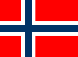 image by Antonio Martins
ISO Code: None
MARC Code: None
IOC Code: Not applicable
Status: Antarctic territorial claims
The Antarctic dependencies do not have flags of their own.
Under the Antarctic Treaty (1959), the territorial claims of the signatory nations are frozen as long as the treaty remains in force. Norway is a signatory nation to the treaty.
The Norwegian claim for Queen Maud Land (Dronning Maud Land) consists of Antarctica between 20° W and 45° E. The territory consists of 2.5 million km2 claimed by Norway on 14 January 1939.
Located at 68° 50' S and 90° 35' W, Peter I Island was first discovered on 21 January 1821 by Fabian von Bellingshauser. The first landing on the island took place on 2 December 1929 by Ola Olstad, who claimed the island for Norway. The island has a land area of 158 km2.
Advertisement from our sponsor:
Bei Fahnenversand.de erhalten Sie eine Vielzahl an hochwertigen Flaggen, Pins und Aufnähern, zum Beispiel:


