
This page is part of an mirror of © FOTW Flags Of The World website
This website is devoted to the science of vexillology (the study of flags).
All illustrations presented on this website serve exclusively to provide information in the context of vexillology.
The authors and hosts of this site explicitly distance themselfes from any symbols of unconstitutional organizations that may be depicted here.
Last modified: 2011-08-20 by rob raeside
Keywords: alberta | bighorn | bighorn sheep head |
Links: FOTW homepage |
search |
disclaimer and copyright |
write us |
mirrors
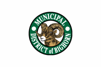 image by Eugene Ipavec, 12 December 2009
Municipalities in Bighorn Municipal District No. 8:
See also:
About the district:
The Municipal District of Bighorn is a rural municipality, located on the eastern slopes of the Alberta Rocky Mountains, immediately adjacent to the Banff National Park. Covering approximately 2700 square kilometres, Bighorn is a region of great diversity, and one that encompasses a range of land uses and people. One will find recreationally-oriented lands in the far west, a country residential base in the southern end, agriculturally-based residents in the north and east, and various industries (oil and gas, mineral extraction and processing, logging) scattered throughout. Roughly half of Bighorn's total population is found in the five hamlets located within the M.D.: Benchlands, Dead Man's Flats, Exshaw, Harvie Heights, and Lac Des Arc. The MD was officially incorporated as a self-governing jurisdiction back in 1988. Since then, it has undergone an annexation by the Town of Canmore in the early 1990's, and a boundary adjustment resulting in considerable expansion in the mid-90's, to todays' situation.
from Municipal District of Bighorn.
Valentin Poposki, 17 September 2009
Advertisement from our sponsor:
Bei Fahnenversand.de erhalten Sie eine Vielzahl an hochwertigen Flaggen, Pins und Aufnähern, zum Beispiel:


